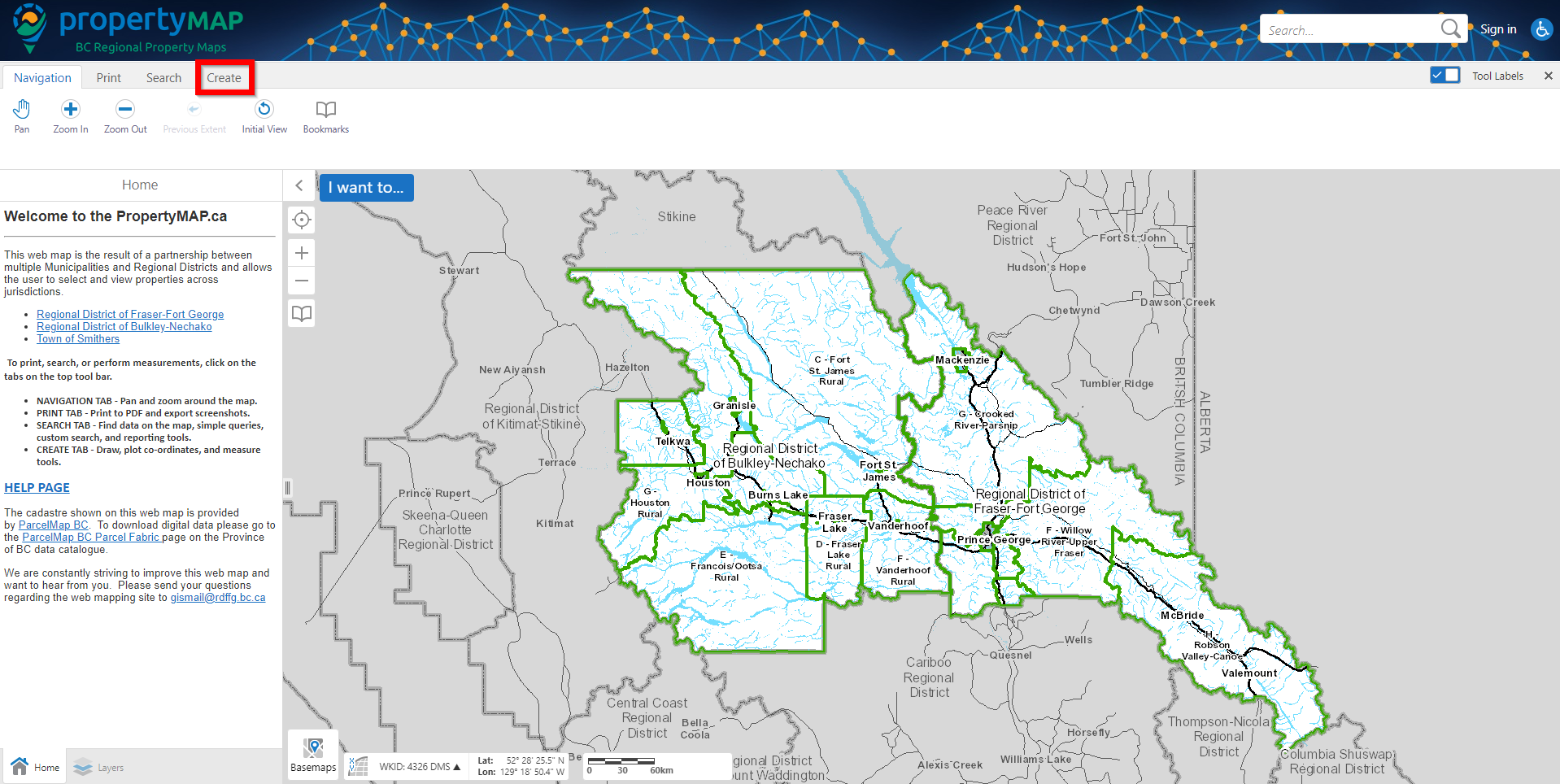
Step 1:
Navigate to the 'Create' tab at the top left hand area of the map.
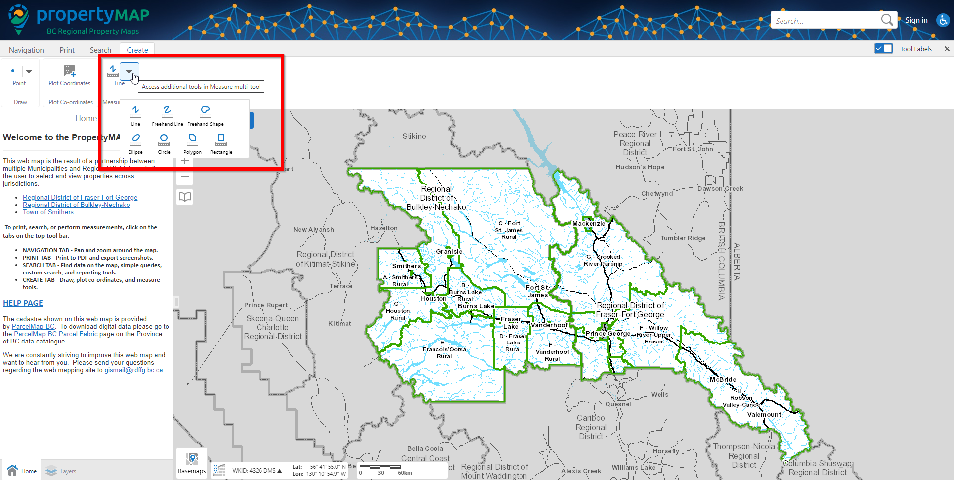
Step 2:
You will see a button titled 'Line'. Click on the dropdown arrow within the button. You will see multiple options for how to measure land. Click the option that best suites your measurement needs.
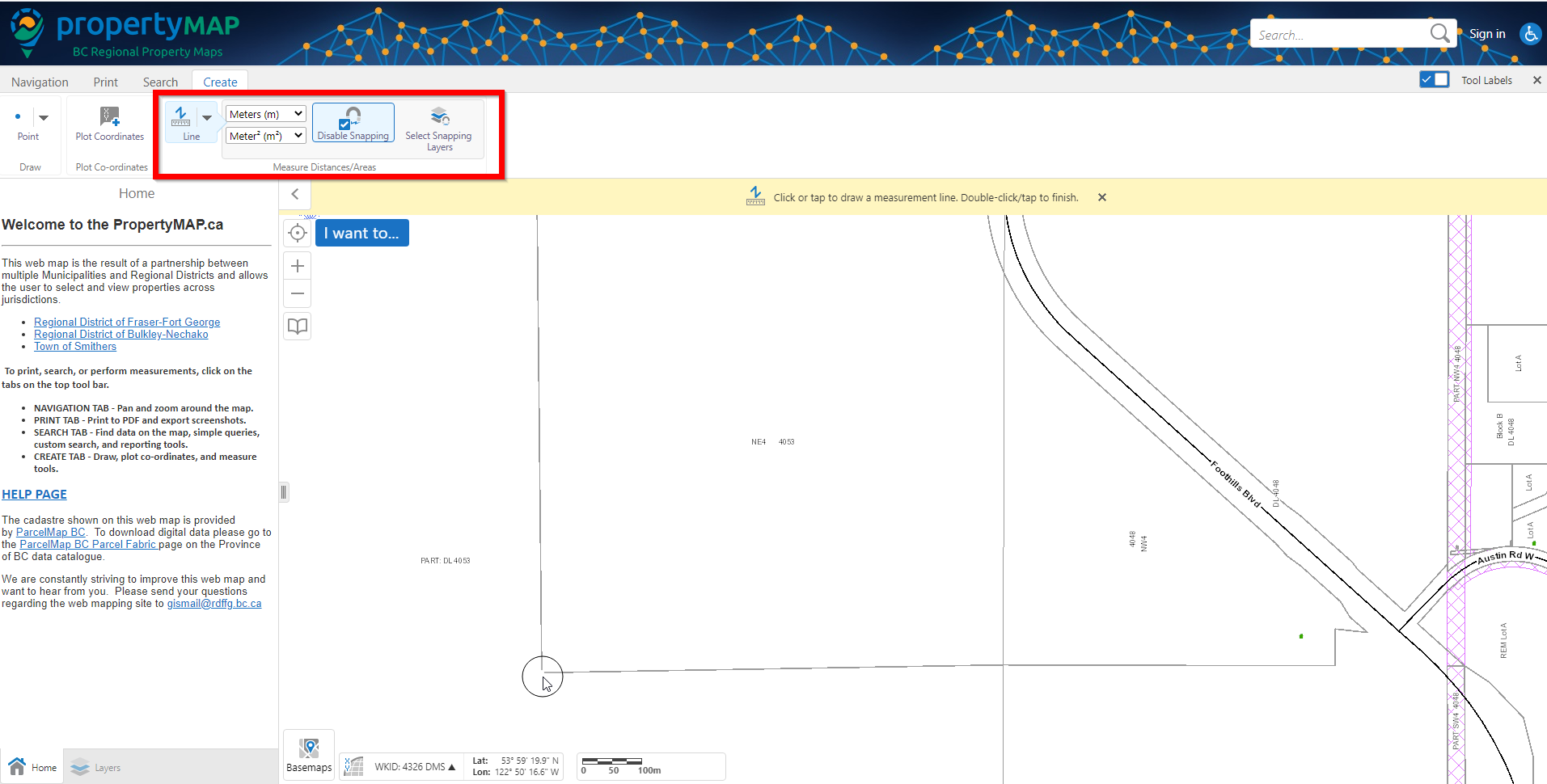
Step 3:
In the below example, I have selected the Line measurement for measuring a strait distance. If you wish to enable snapping (make it so the measurement draws itself directly over a layer, for example, a property line), you can click the `Enable Snapping` button.
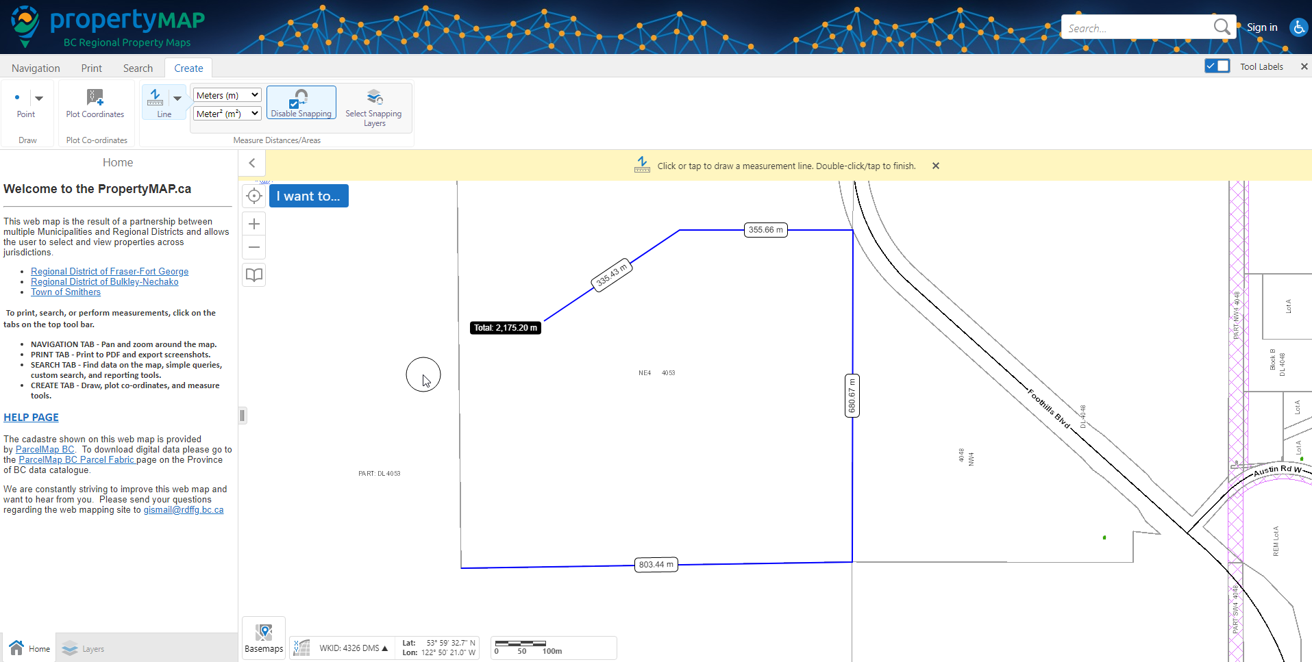
Step 4:
Click once at your starting location. Click once on a second point, and continue adding points around the location you are retrieving measurements from. Once you are finished, double click and the map will display your measurement(s)