Step 1:
Navigate to the feature you require a buffer distance for. If you need help selecting a feature, or finding a parcel, you can find them in the below pages:
How to Find a Parcel
How to Select a Feature
Step 2:
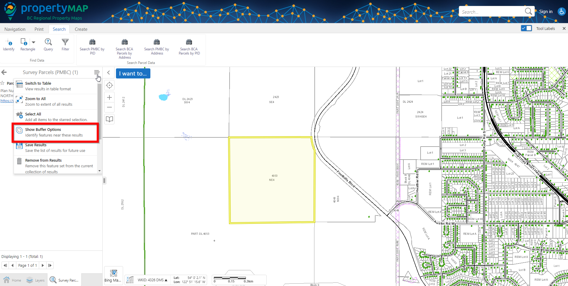
Once you have a feature selected, go to the left hand window and click the dropdown menu on the top right. In the dropdown, select `Show Buffer Options`
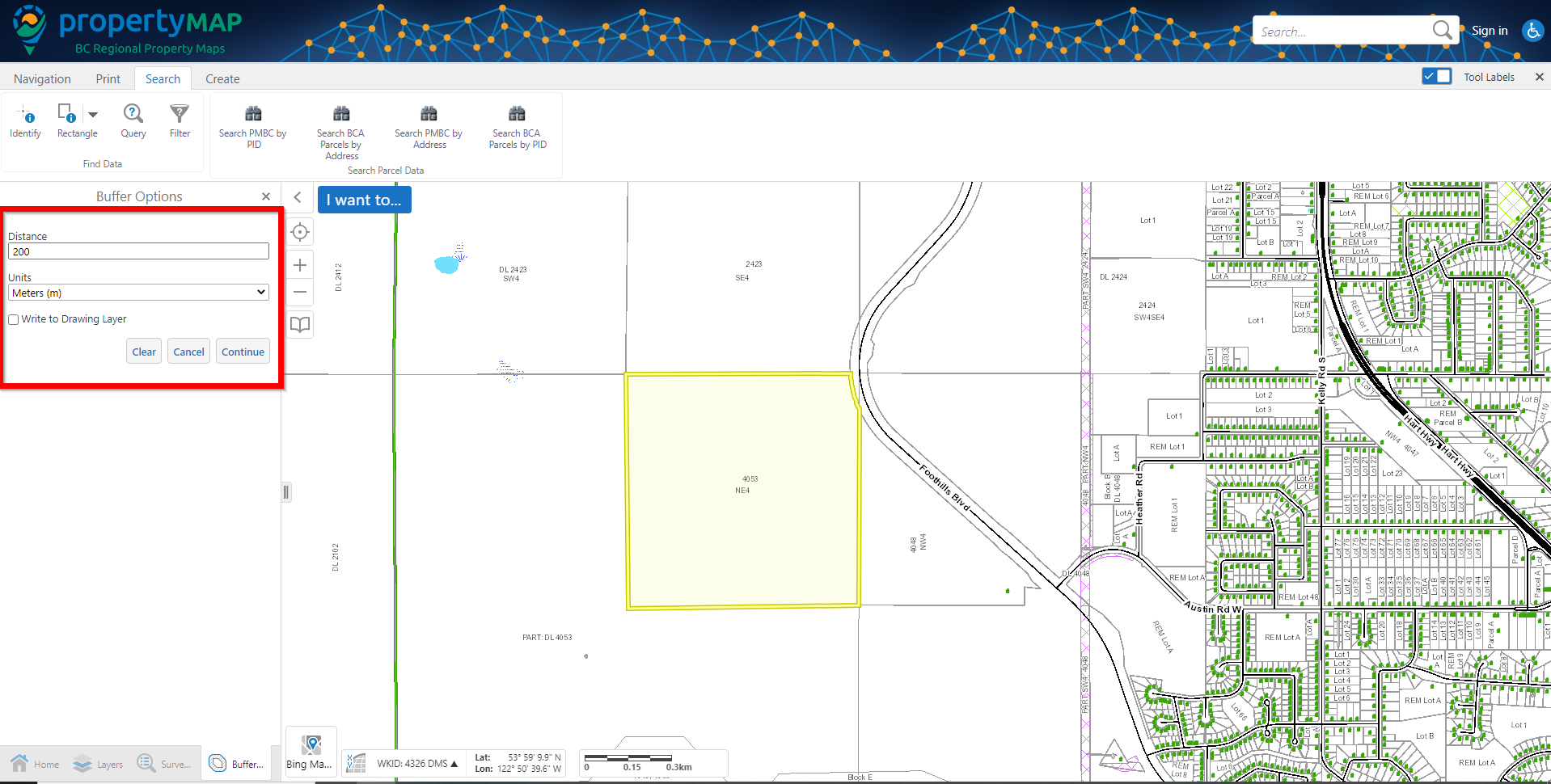
Step 3:
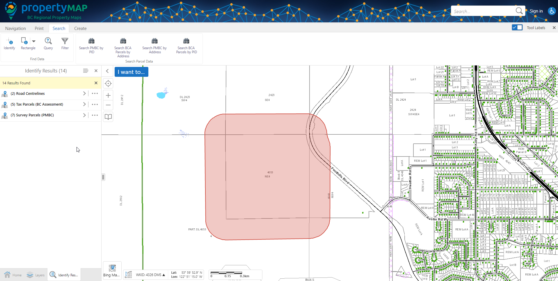
Enter in the distance you wish to buffer the feature by. Once you have done this, press `Continue` and all features within the specified buffer distance will be selected.